Boating along the River Palsa
About the River Palsa
- Length: 76 kilometres (LVM GEO land amelioration cadastre data)
- Source: Slapjuma Hill, Dzērbene Rural Territory
- Finish: Historically, the Palsa River below Palsmane flowed through Grundzāle into the Gauja River, but its riverbed was rerouted, and all the waters of the Palsa were diverted through the Jaunpalsa, or Lūkupe Canal, into the Vizla River. Today, the old bed of the Palsa is known as Vecpalsa.
- Total river elevation drop: 121 metres
- Elevation drop on boating sections:
- Krustakmens – Ūdrupe: 20 metres
- Variņi – Palsmane: 28 metres
- Largest tributary: Kļavaisa
- The River Palsa flows almost entirely through Smiltene Municipality and forms a 23 km-long boundary river, separating Smiltene Municipality on the left bank and Gulbene Municipality on the right.
- Two sections of the river are suitable for boating: Krustakmens – Ūdrupe and Variņi – Palsmane.
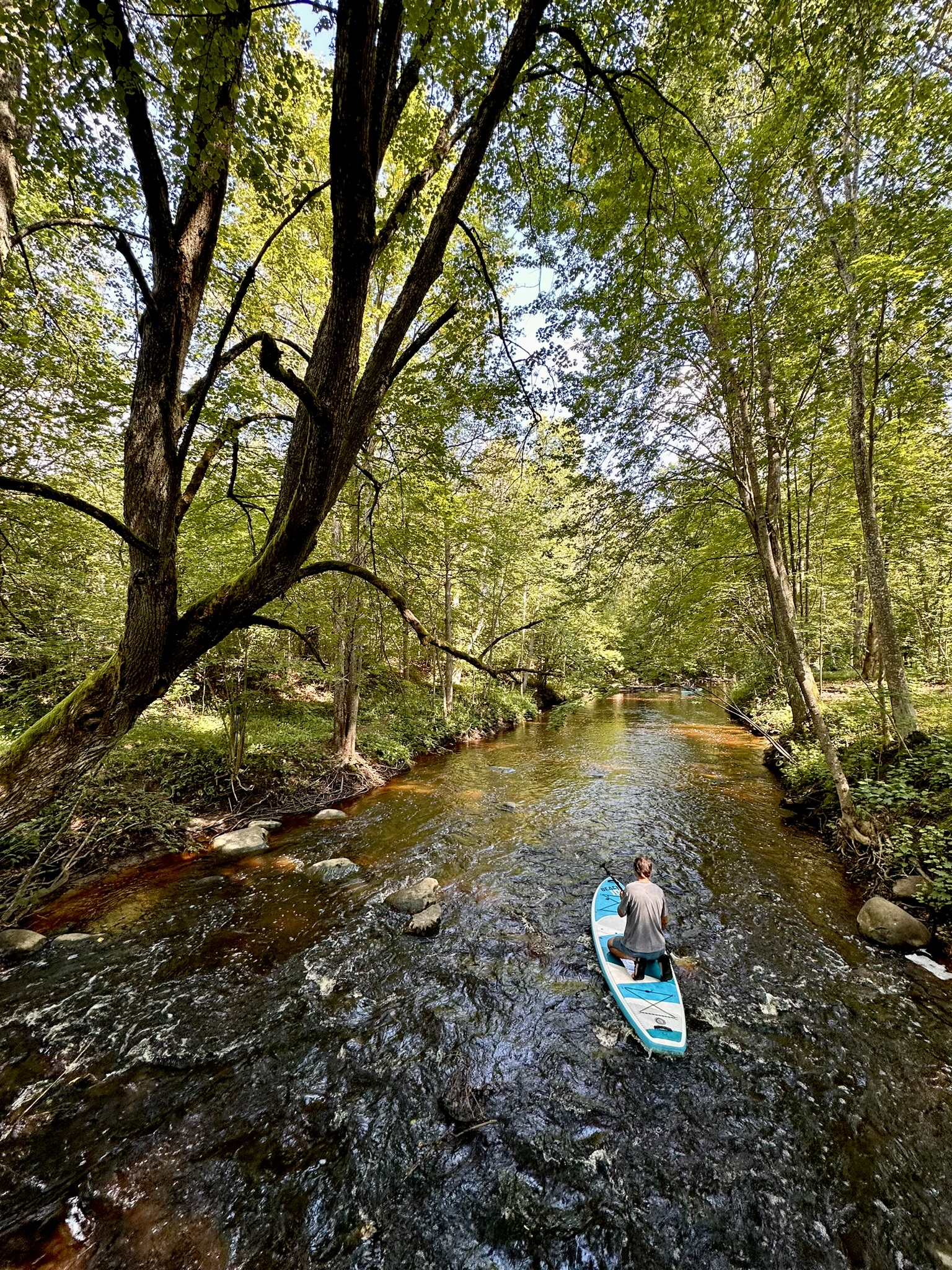
Krustakmens – Ūdrupe (12 kilometres)
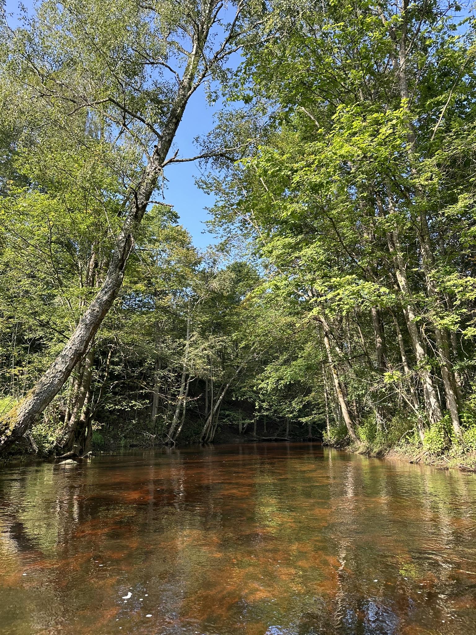
Travelling along road P27, near Ūdrupe, you will see a sign pointing toward Krustakmens. After approximately 4.5 km, the road reaches a junction and a bridge over the River Palsa. This is the most convenient access point for launching boats. For about 8 km, the route passes through scenic landscapes where large boulders alternate with stretches of golden sand along the riverbed. At higher water levels, faster currents form in the rockier sections, making this stretch particularly engaging. Fallen trees and beaver dams appear occasionally but are generally easy to navigate. After approx. 8 km, several large log jams appear, which can be bypassed or crossed on foot. Soon after, the river becomes calmer, opening into meadows with grassy banks. The water deepens, and paddling remains peaceful all the way to the bridge on road P27, which marks the end of this route.
Variņi – Palsmane, 18,5 kilometres.
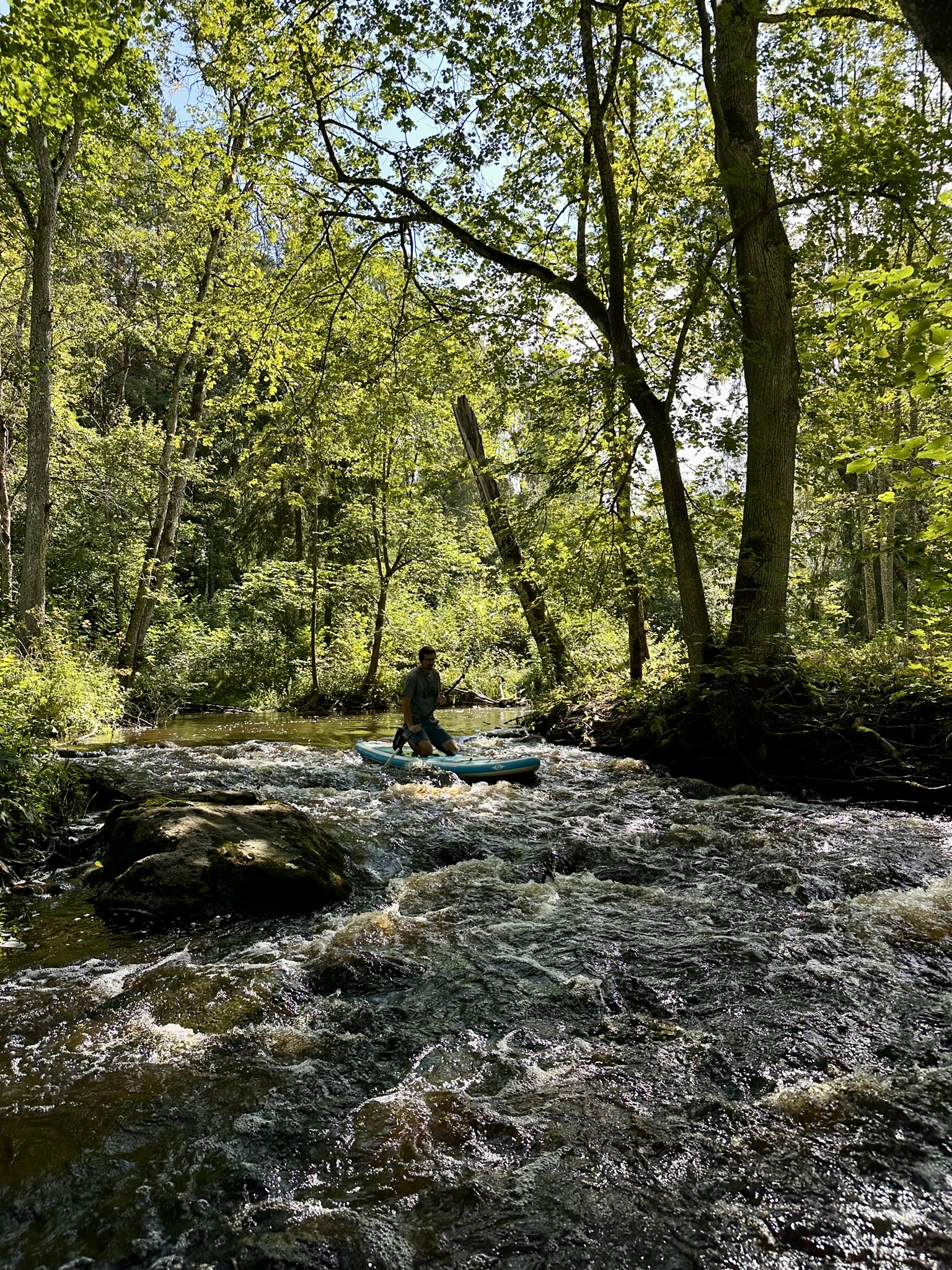
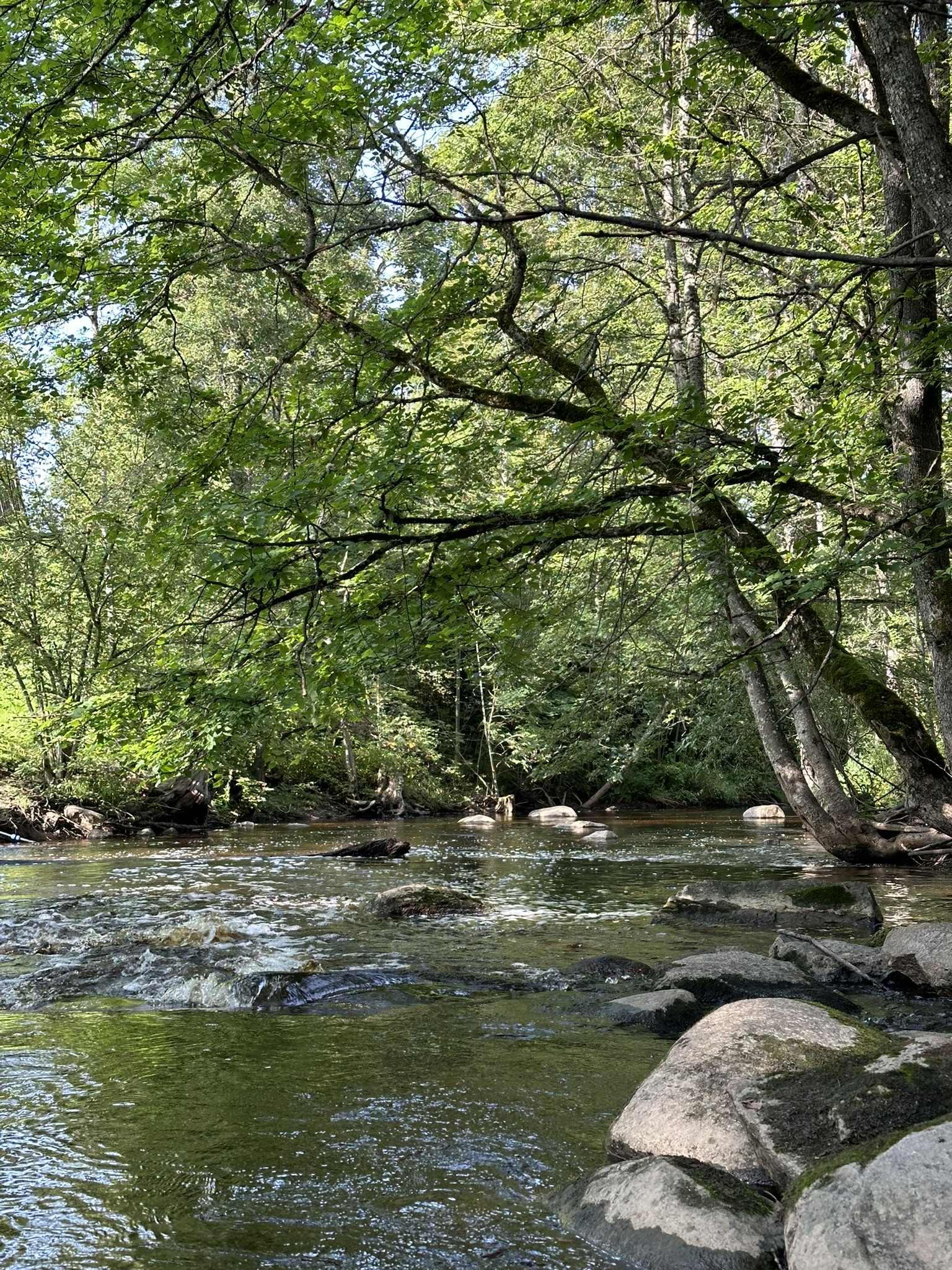
As on the Krustakmens – Ūdrupe section, boulders alternate with sandy stretches along the riverbed. At times, the river forms sharper bends, then slows down, allowing for relaxed nature observation, while occasional faster currents demand attention and careful manoeuvring around stones.
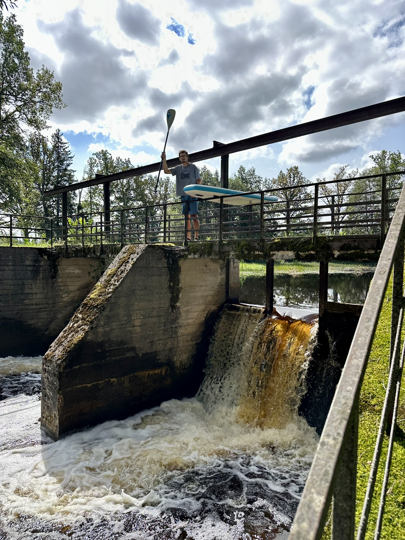
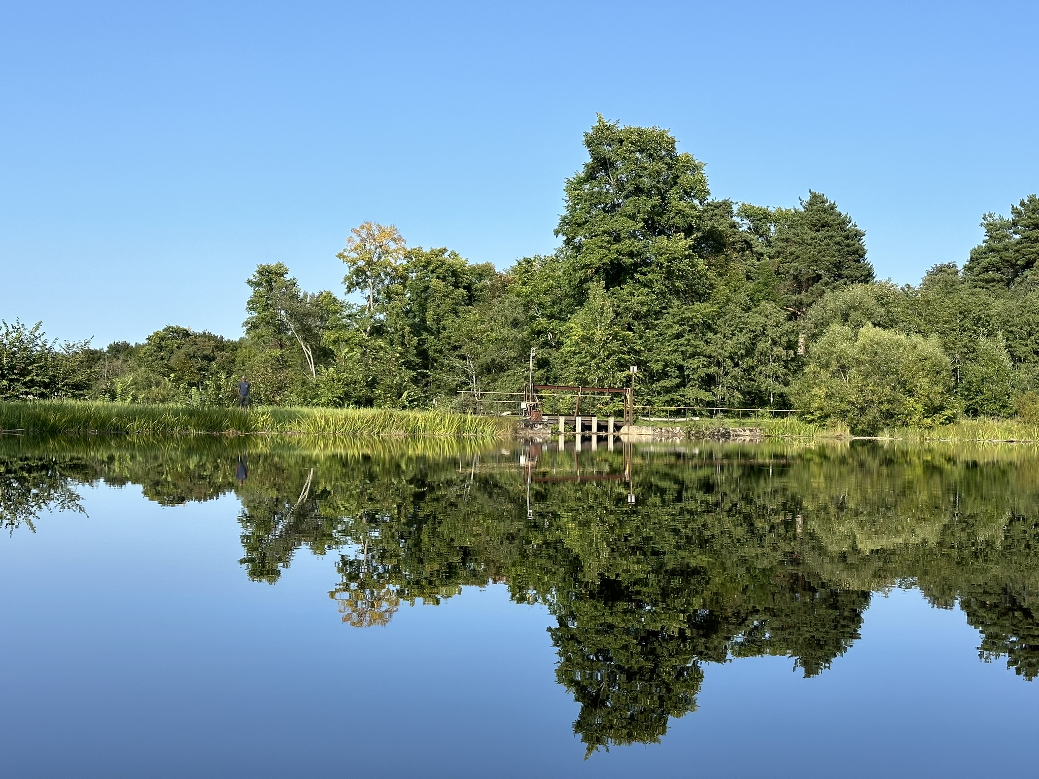
The route begins at the Variņi water reservoir, where a dam and sluice gates must be bypassed on foot along the riverbank. Downstream, fallen trees and occasional beaver dams appear, but they are relatively few, and the journey continues smoothly. The river’s flow is partially impounded by the Palsmane water mill and weir, resulting in the final kilometres being slow and calm. The mill area offers convenient access by car and is a suitable endpoint to the trip.
The River Palsa is best suited for boating during medium to high spring flood levels; during dry periods, the water levels are too low. At medium water levels, the ride is calmer, but be aware of more obstacles and occasional grounding on stones. At high flood levels, faster currents and small rapids form, providing an extra challenge for more experienced paddlers.
Like many Latvian small rivers, the River Palsa presents its own challenges and obstacles and is best suited for boaters who appreciate the charm of narrow, winding waterways.
For information:
- Upstream of Krustakmens, the River Palsa is very narrow and obstructed, making access and boating difficult.
- Between Ūdrupe and Variņi, the river is slower but heavily overgrown, with numerous beaver dams, fallen trees, and log jams that complicate navigation.
- Downstream of the Palsmane water mill, for approximately 1 km, the riverbed is significantly drier, as most water is diverted to a power station and canal. This section can be bypassed by walking along the bank and re-entering via the canal, or the river further downstream. The boat ride through Palsmane is scenic and slightly faster-flowing, but shortly afterwards, the river becomes calmer again, with more debris and obstacles continuing to the river’s end, where it joins Kļavaisa.