Boating along the River Vecpalsa
About the River Vecpalsa
- Length: 25 kilometres (LVM GEO land amelioration cadastre data)
- Beginning: Historically, the Palsa River flowed through the bed of Vecpalsa until its channel was excavated and the waters were diverted to the Vizla. At present, the beginning of Vecpalsa is a riverbed with stagnant water. Vecpalsa as a flowing river begins at the point where the waters of the Rauza flow into it.
- Mouth: River Gauja
- Total elevation drop: 35 metres
- Total elevation drop along the boating route: 34 metres
- Major tributary: Rauza
The River Vecpalsa is suitable for boating from its confluence with the Rauza all the way to the Gauja. However, since the confluence is far from any roads, boating can be started further upstream on the River Rauza or from the V248 road near the settlement of “Caunes.”
Caunes (autoceļš V248) – Gauja, 14km.
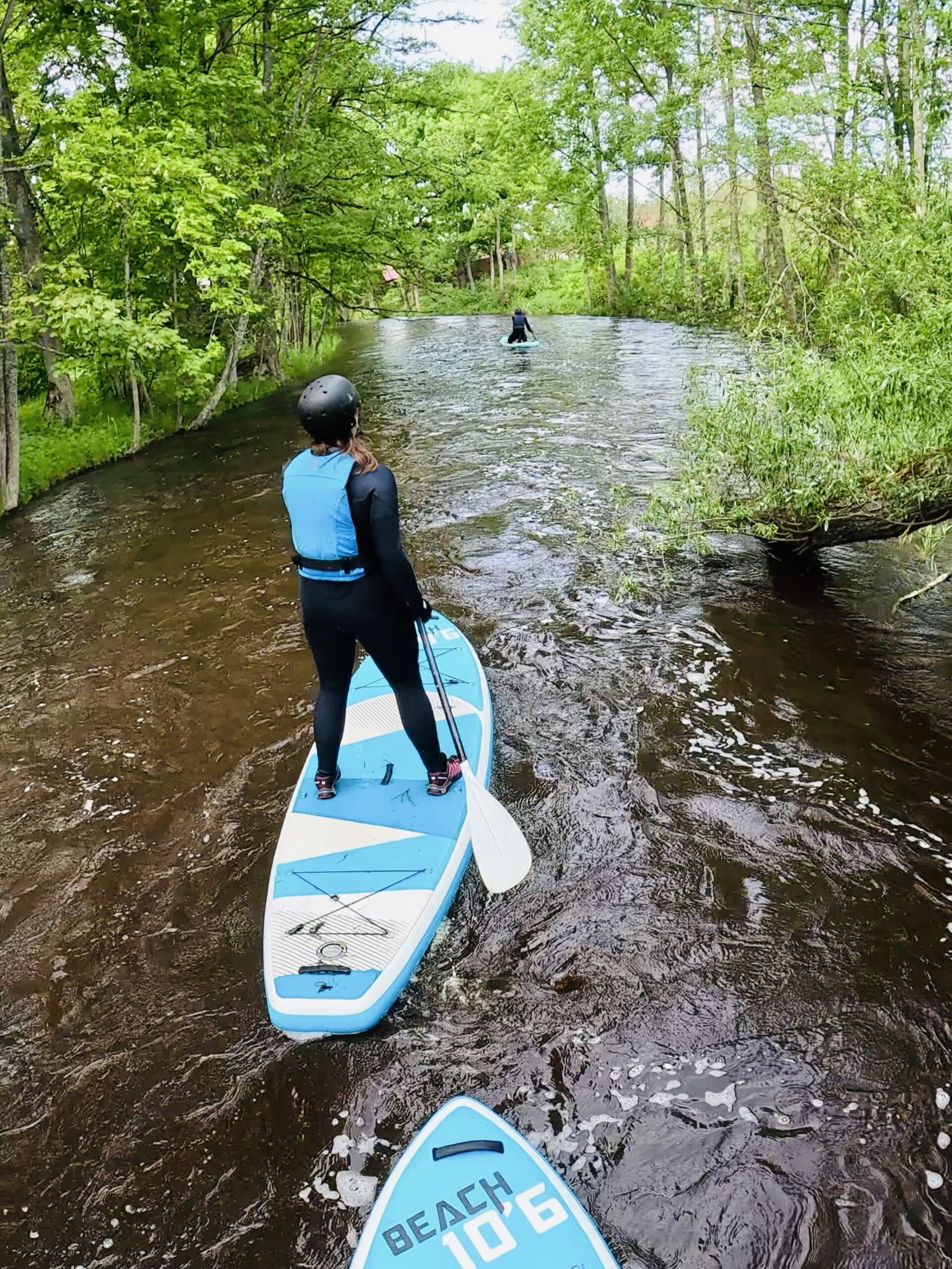
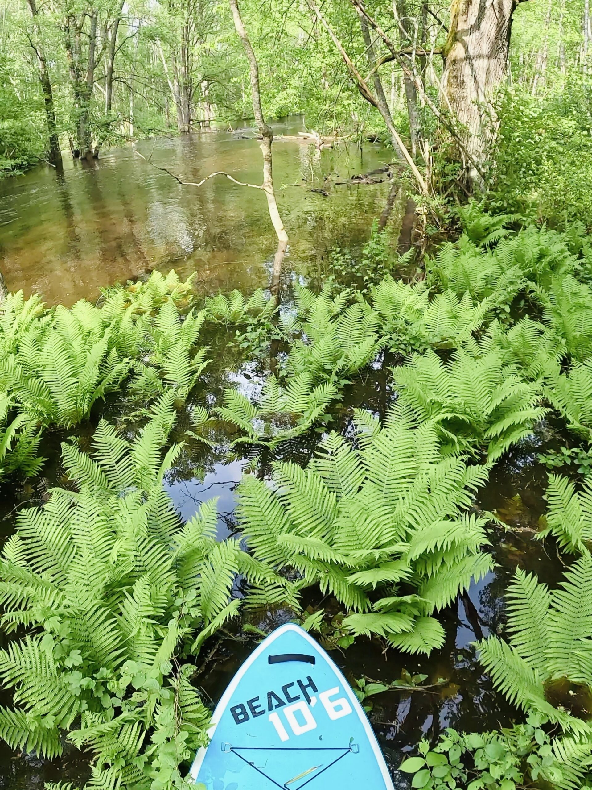
At first, the route passes slightly through meadows, but these are soon replaced by wet forests with an enormous beaver kingdom – countless beaver channels and hundreds of gnawed trees can be seen all around. Although it might seem that such an area would mean many obstacles in the river, quite the opposite is true – there are very few. In some places there is a small beaver dam that is easy to cross, and only rarely a fallen tree. Here the river is calm and the surrounding landscape is unusual.
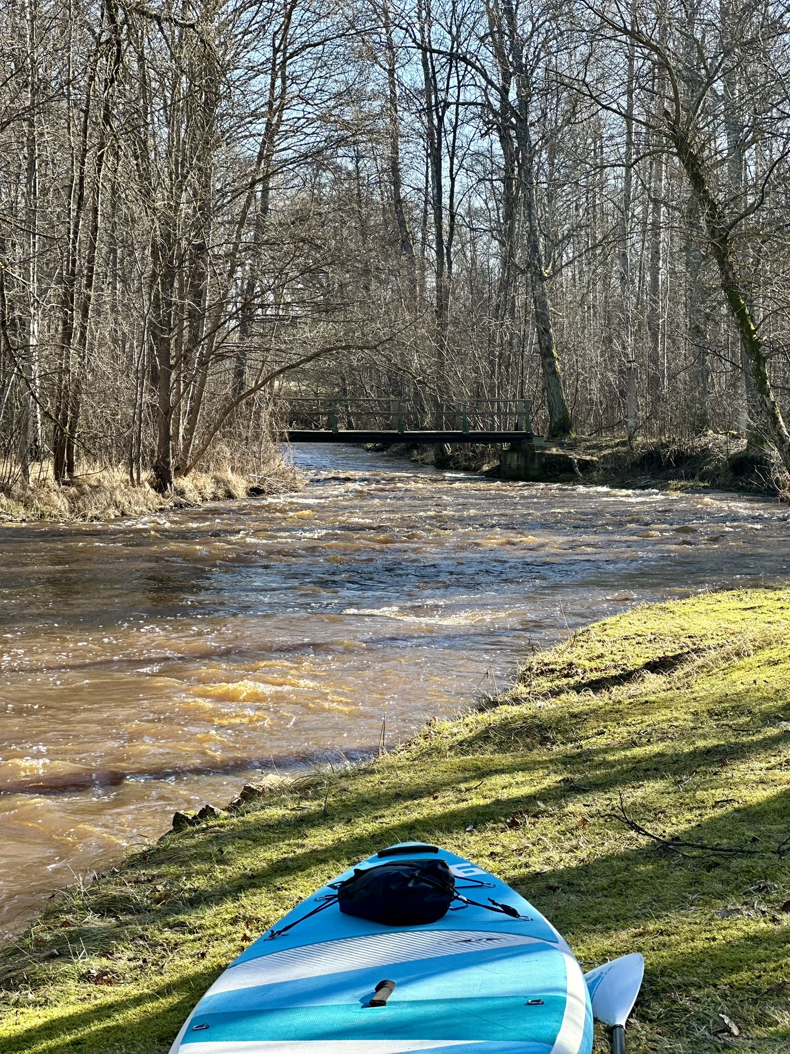
Up to Grundzāle, the river is fairly clean and easy to navigate; more and more stones appear in the riverbed and rapids begin to form. About a kilometre before Grundzāle, Vecpalsa flows through meadows and, because of the dam further downstream, becomes completely calm. After the dam, the river turns swift, and dolomite appears in both the riverbed and along the banks. This continues for several kilometres beyond Grundzāle, where larger dolomite outcrops can also be seen on the banks.
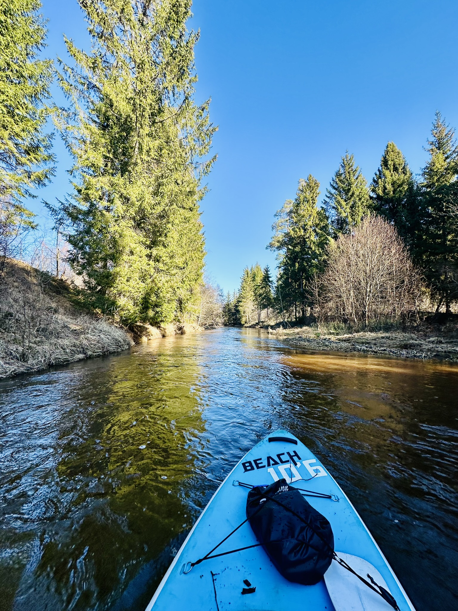
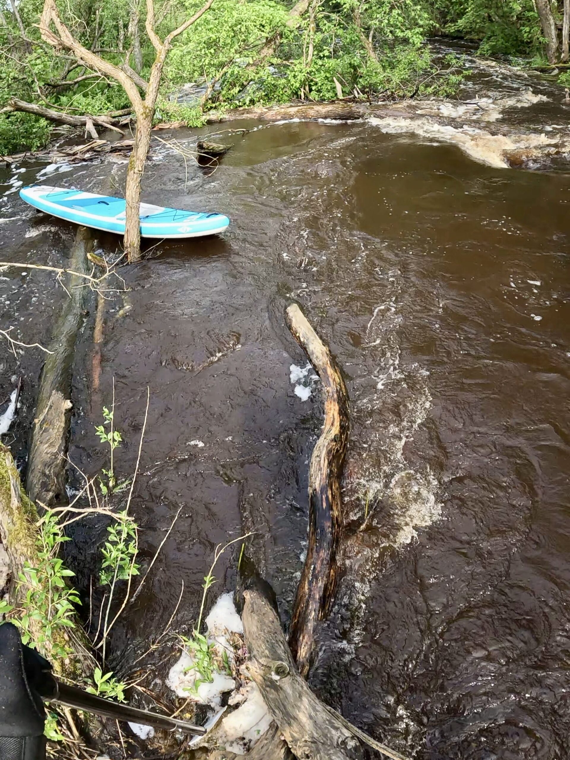
Soon after the Grundzāle bridge, pipes with sharp metal structures can be seen crossing the river, so extra caution is needed when the water level is high. Further on, more fallen trees appear; however, compared with other rivers in Smiltene Municipality, there are few of them here, and progress downstream is fairly quick. Around 3 km below Grundzāle, the river becomes calm again, surrounded by mixed forests, with more sand in the riverbed and the occasional fallen tree in the water. From there, the river winds gently all the way to its confluence with the Gauja.
- The most convenient place to end the trip is in Gaujiena, although there are still another 10 kilometres from the confluence to the recreation area. Shortly after Vecpalsa flows into the River Gauja, a path joins the river on the left bank, leading to Palši Manor, which can be reached by car.
- Vecpalsa is suitable for boating at medium and high floodwater levels. During high floodwater, the section around Grundzāle becomes very fast-flowing and dangerous.