

Hiking Route “Roller Coaster”
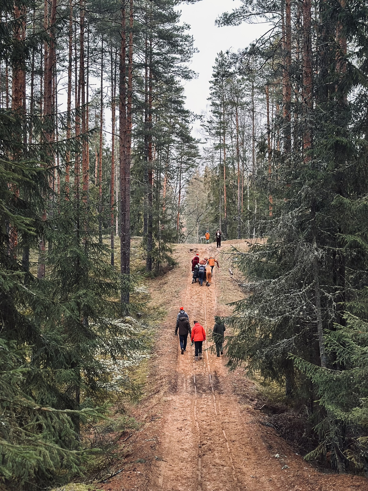
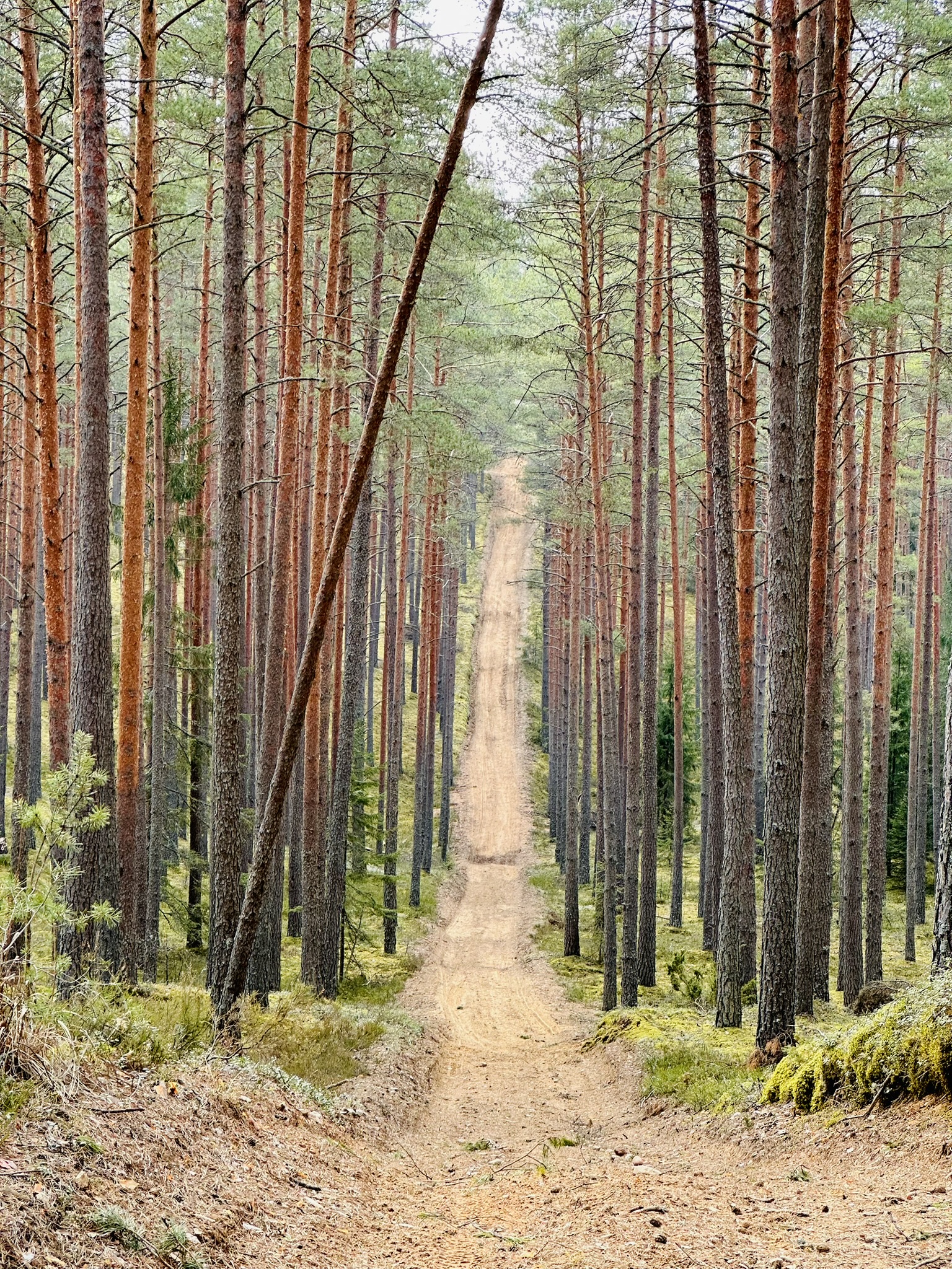
The route mostly follows forest firebreaks through the pine forests typical of the Lake Niedrājs area. The forests around Lake Niedrājs are very hilly; in some places, the firebreaks and terrain are visible far ahead, creating a “roller coaster” effect.
- Length: 8 km
- Starting point: car park near Lake Niedrājs (GPS: 57.43143, 25.97521)
- Natural sights to see along the route: Lakes Niedrājs, Mellūzis, and Bābenis.
- Nearby are the Pārkalnes Money Stone, and six forest lakes connected by channels.
- The route navigation (GPX) file is available here.
Important!
- The route is also suitable for bicycles, but not recommended for child strollers.
- The route mostly follows forest firebreaks, which are plowed every spring before the fire-risk season. Walking can be difficult immediately after the firebreaks have been plowed.
This is not an official walking trail, but a route proposed by the Smiltene Tourism Information Centre. The route is not regularly maintained. When setting out for a walk, please note that conditions in nature may change – fallen trees may occasionally block the path, logging work may be underway, vegetation can become overgrown during the summer season, etc.
Address
Niedrāja ezers, Launkalnes pagasts