Strūve Geodetic Arc Point “Palzmar”
The Strūve Geodetic Arc is listed as a UNESCO World Heritage Site as a unique scientific achievement of the 19th century – the longest and most accurate geodetic measurement system and an important monument in the history of science. One of its points, Palzmar, is located in Grundzāle Rural Territory, Smiltene Municipality. The site was reopened on 1 June 2023 following a restoration project.
- The Struve Geodetic Arc is a chain of triangulation geodetic points used to determine the size and shape of the Earth.
- It was measured during the period from 1816 to 1855.
- The geodetic arc extends from Hammerfest in northern Norway, through Tartu in Estonia, to Izmail near the Danube Delta by the Black Sea.
- Loka garums ir 2822 km.
-
- The Palzmar (Palsmane) point was measured on 3–4 July 1824 under the leadership of Friedrich Georg Wilhelm Struve. Observations were made at three points in present-day Latvia – Oppekaln (Opekalns), Kortenhof (Kārtene), Ramkau (Ranka) – and at Mariomaggi in Estonia.
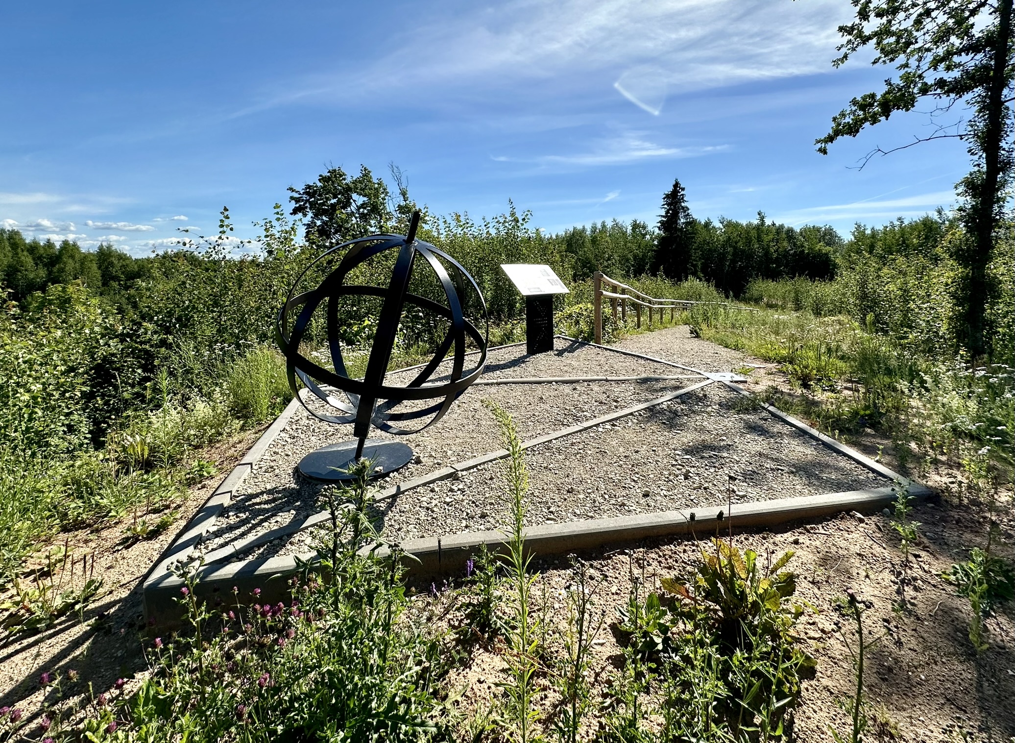
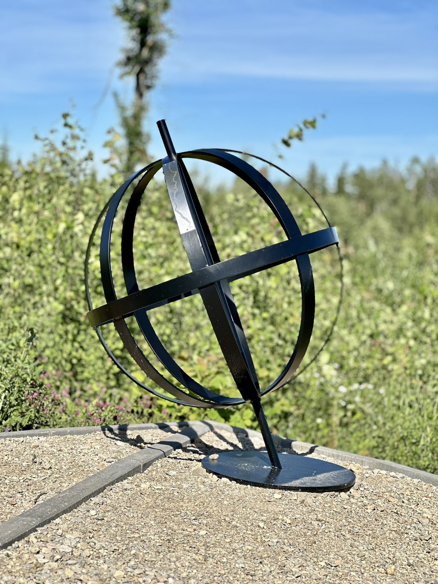
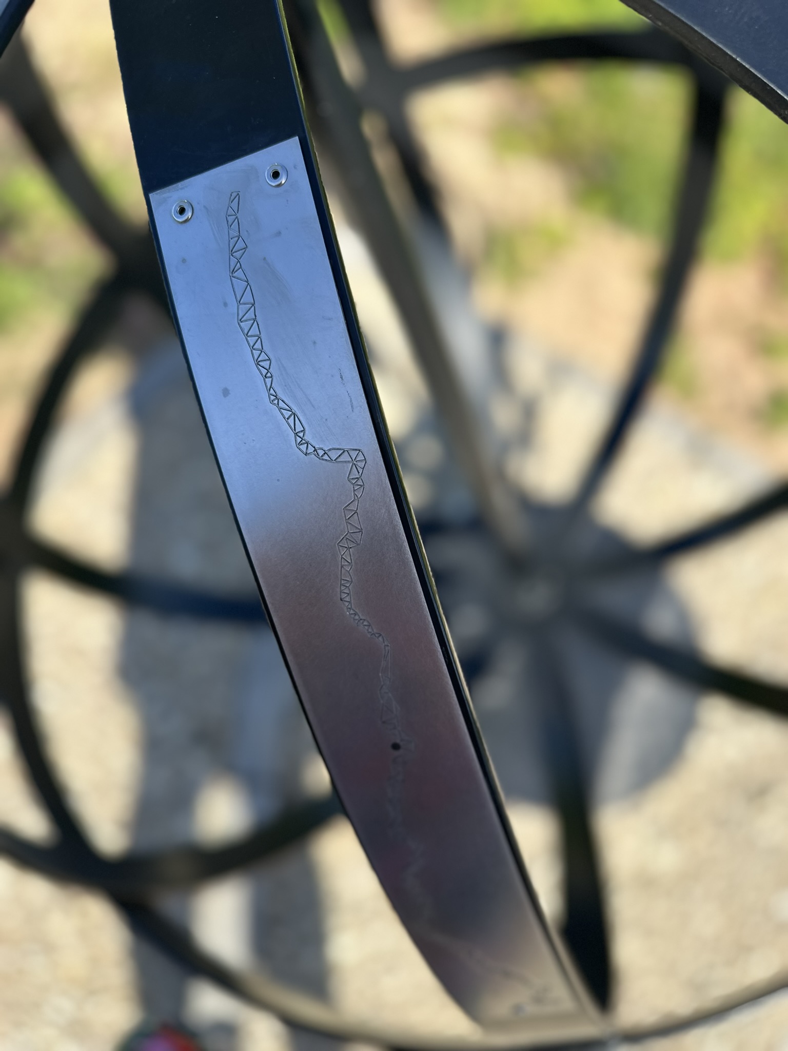
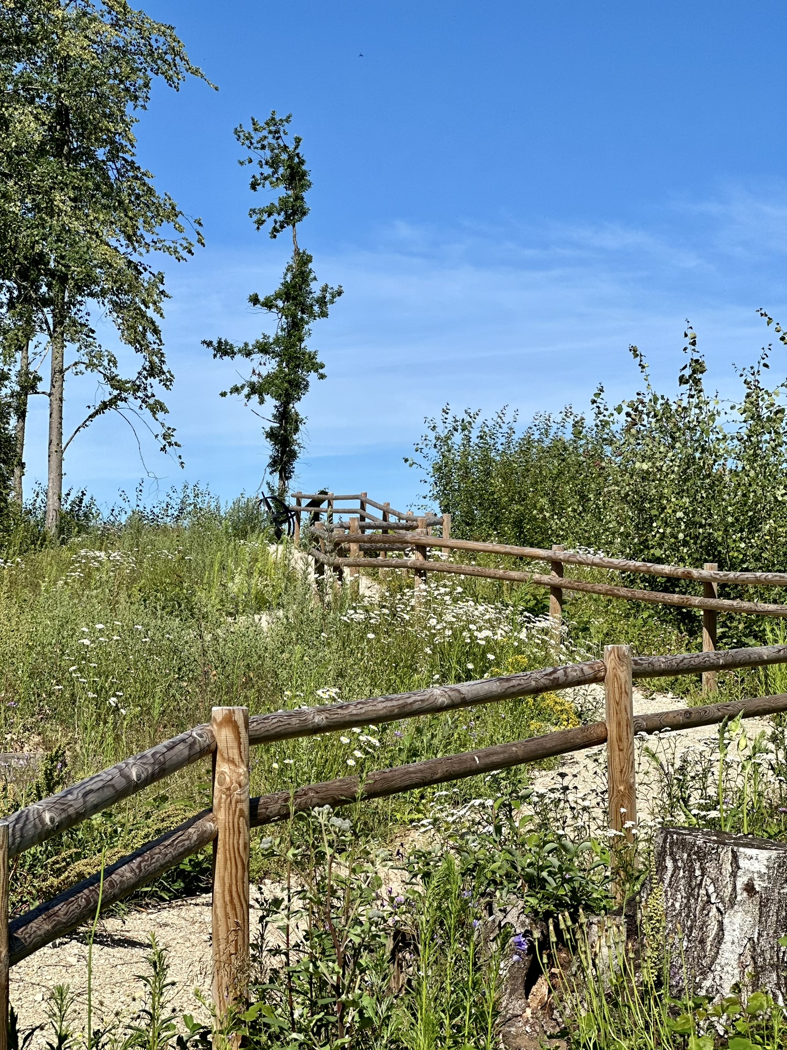
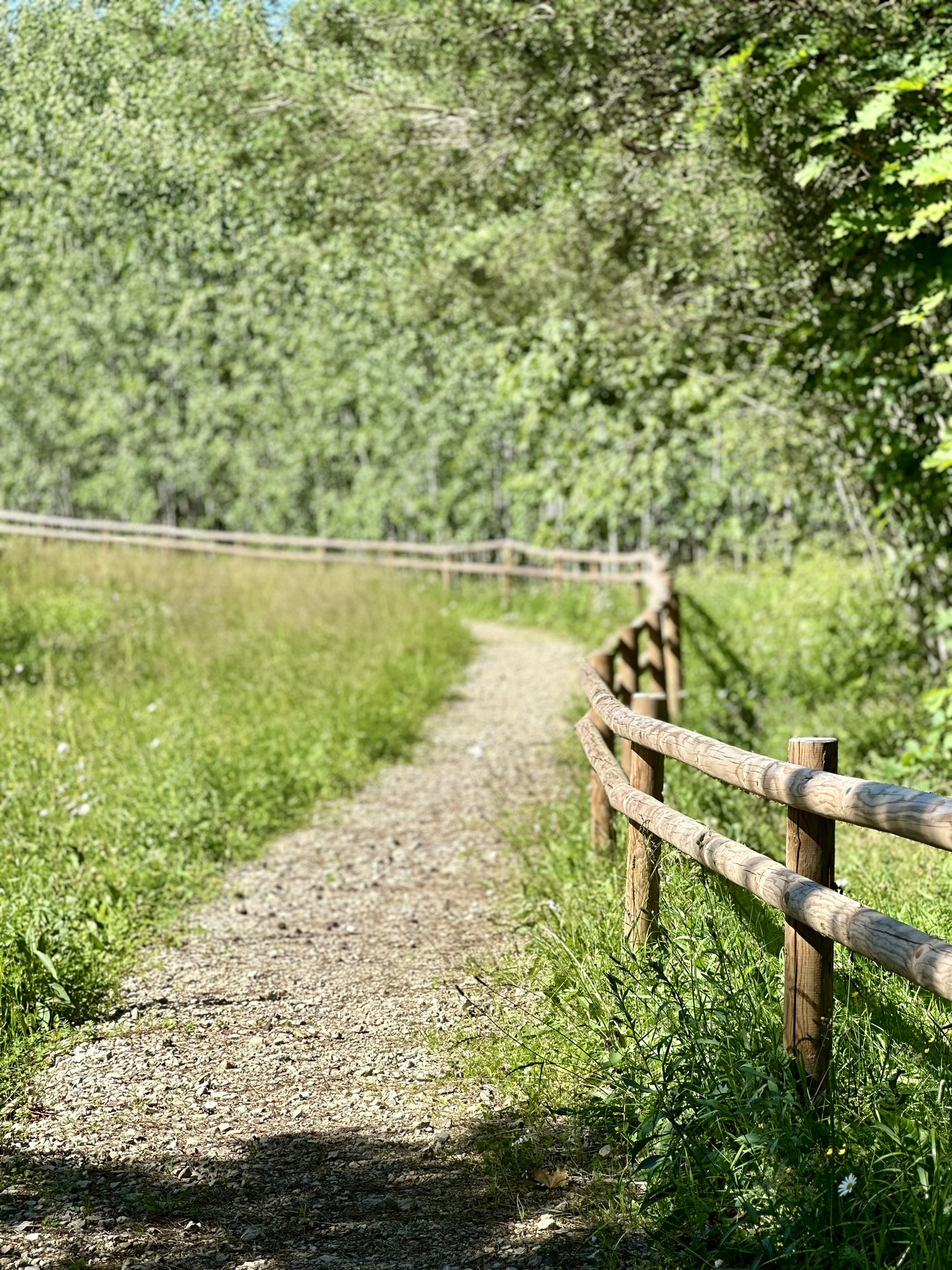
Site improvements include: construction of a parking area and pedestrian path, installation of a bench and two information boards in Latvian, Estonian, English, and Russian, as well as two-level wooden railings along the pedestrian path. At the end of the path, there is a pentagonal area with concrete edges, with a granite stone installed at one of its corners, marking the exact coordinates of the Struve point. The sides of the pentagon indicate directions to neighbouring Struve Arc points. An environmental element has been created to visualise the Struve arc – a metal globe framework depicting the Struve geodetic arc and an explanatory information board. Five directional signs for visitors have been installed.
The Struve Geodetic Arc Point was restored with financial support from the Rural Support Service of Latvia under project No. 22-09-AL12.2201-000003, “Restoration of the Struve Geodetic Arc Point in Palzmar”. Project goal: to restore the Palzmar point marker, promote awareness of the Struve Geodetic Arc, and create a new tourist attraction.