Hiking routes in Vireši Parish
Two hiking routes have been created in Vireši Parish. One is suitable for families with children and fans of short walks, while the other will appeal to those who enjoy longer hikes. Both routes are circular, starting and ending in the centre of Vidaga, and are marked in nature with a red arrow on a white background.
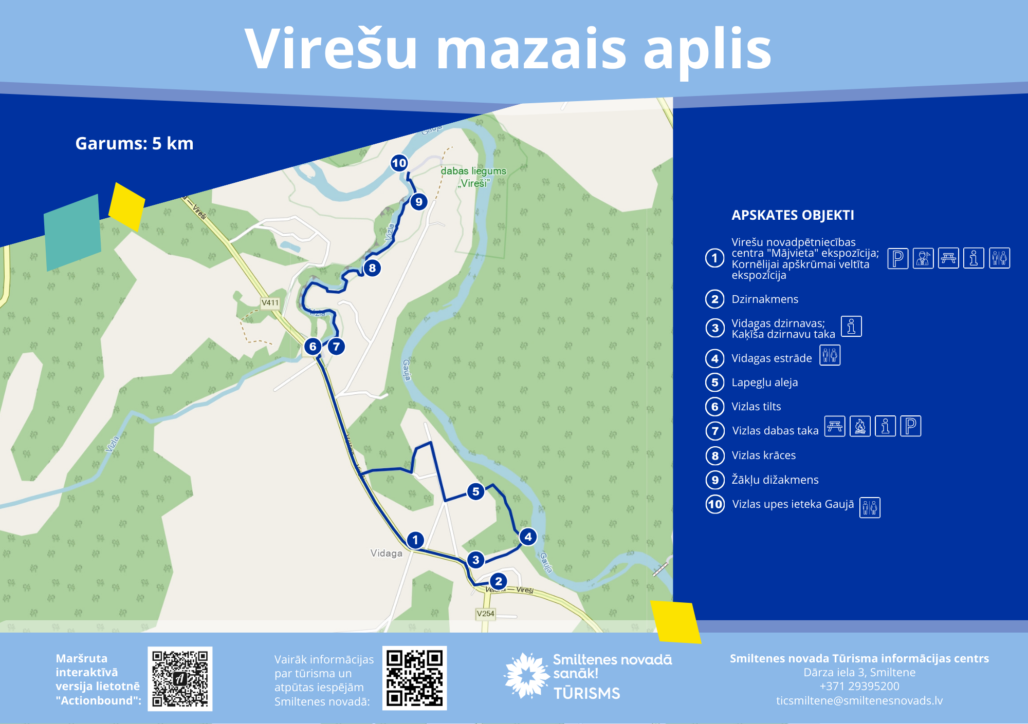
SMALL LOOP
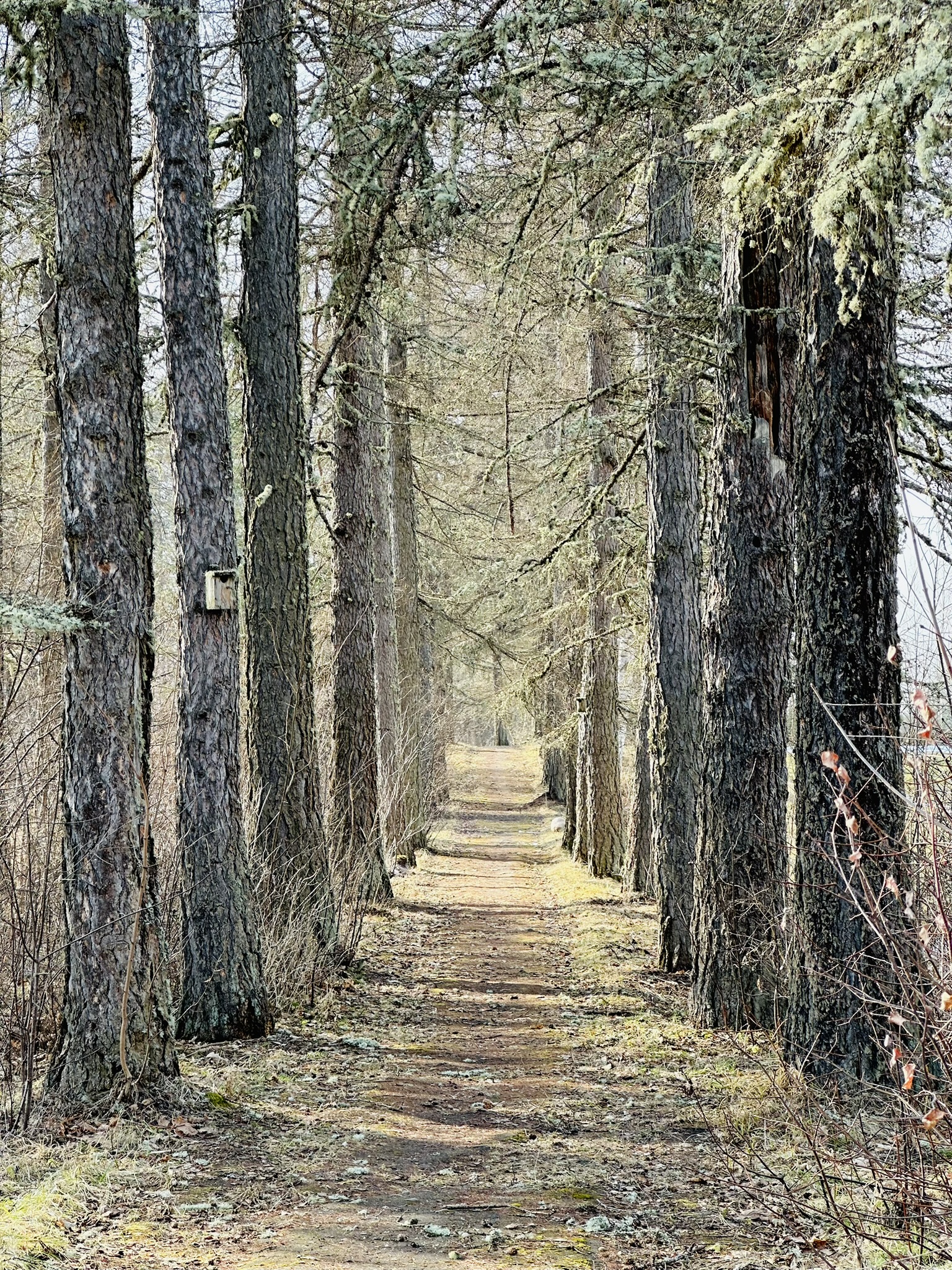
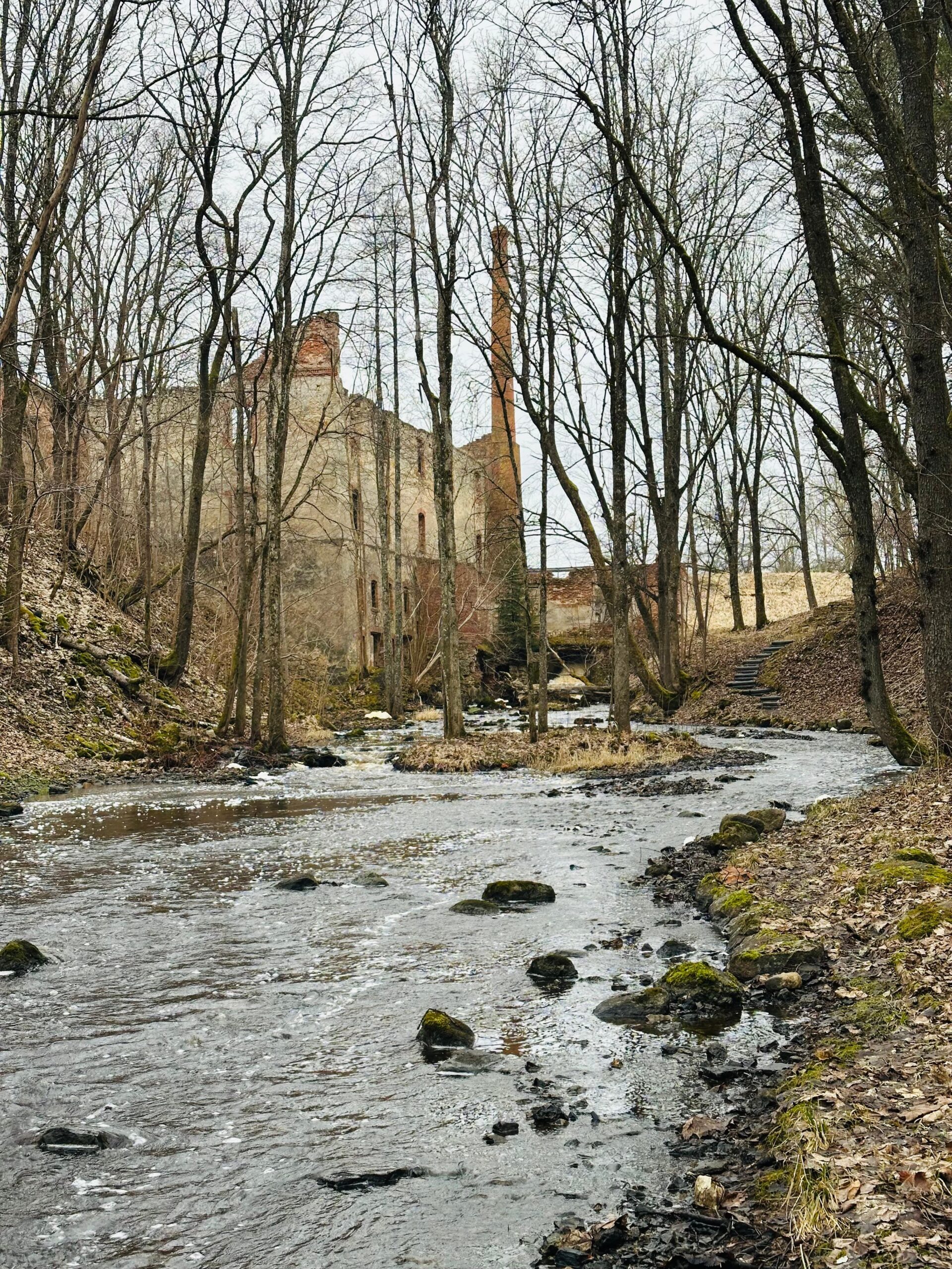
The Vireši Short Loop is based on the Vizla Nature Trail and the paths and walkways in the centre of Vidaga. Along the way, visitors can see the Vidaga Mill, the open-air stage, larch avenues, sports grounds, and local buildings.
Length: 5 kilometres.
Surface: asphalt roads and footpaths; some sections include stairs.
Terrain: slight
The route is not suitable for pushchairs or bicycles.
In periods of high water, the “Kaķīša Mill” trail may be flooded; in that case, use the road leading to the open-air stage, which runs parallel to the trail.
Route map un navigation (gpx) file.
The route includes the following points of interest: the exhibition at the Vireši Parish Local History Centre “Mājvieta”, the millstone, Vidaga Mill and the Kaķīša Mill Trail, the Vidaga open-air stage, larch plantings, sports grounds, the Vizla Nature Trail, and the Žākļi Big Boulder.
An interactive version of the Short Loop is available in the Actionbound app, combining a walk with an educational game. The game introduces walkers to facts about Vireši Parish, encourages them to find locations, and invites them to complete tasks at stopping points.
To open the interactive route:
1. Download the “Actionbound” app.
2. Open the app and type “Virešu mazais aplis” in the search bar.
3. Register the players.
4. Follow the instructions and set off on your journey!
BIG LOOP
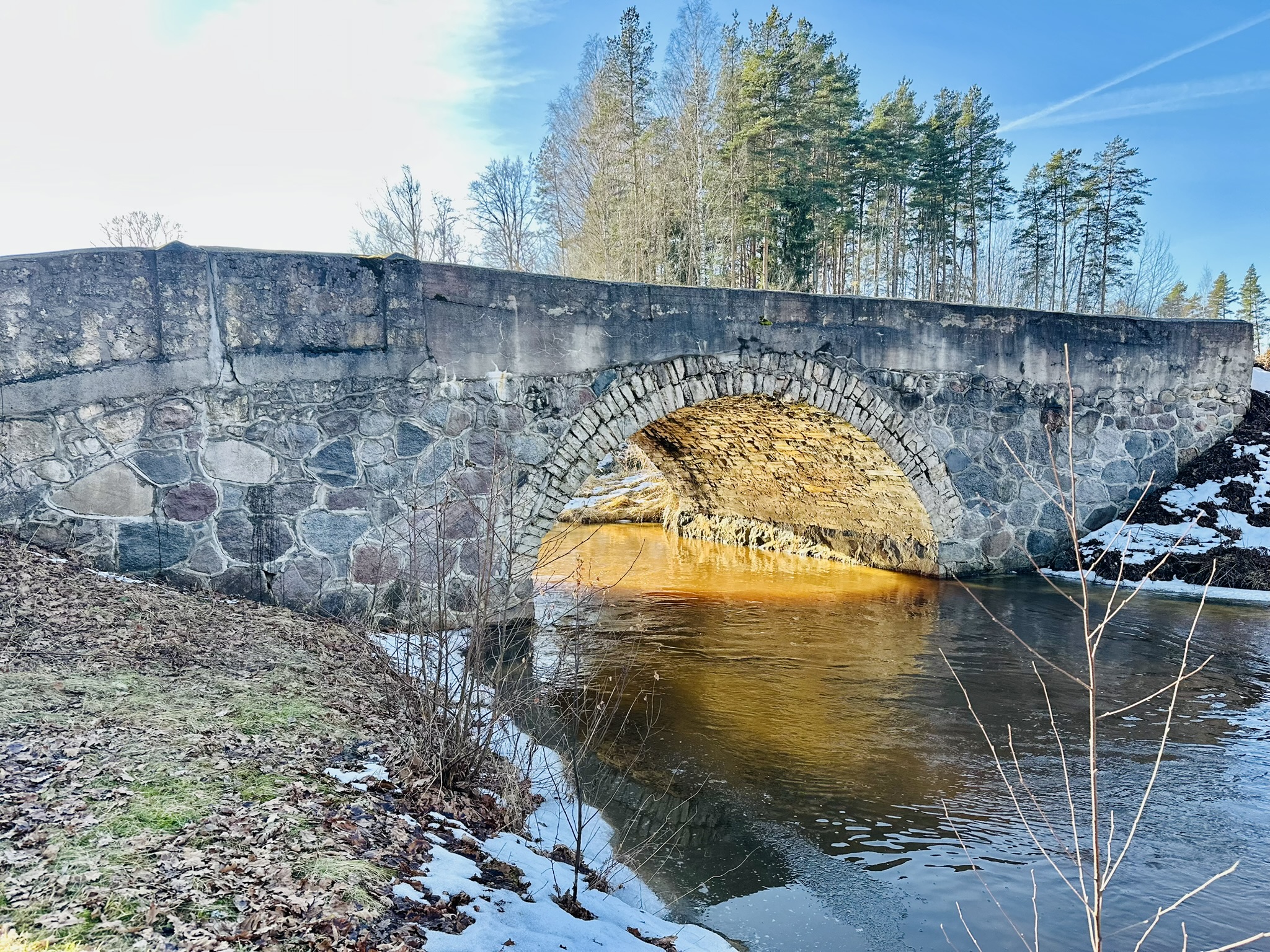
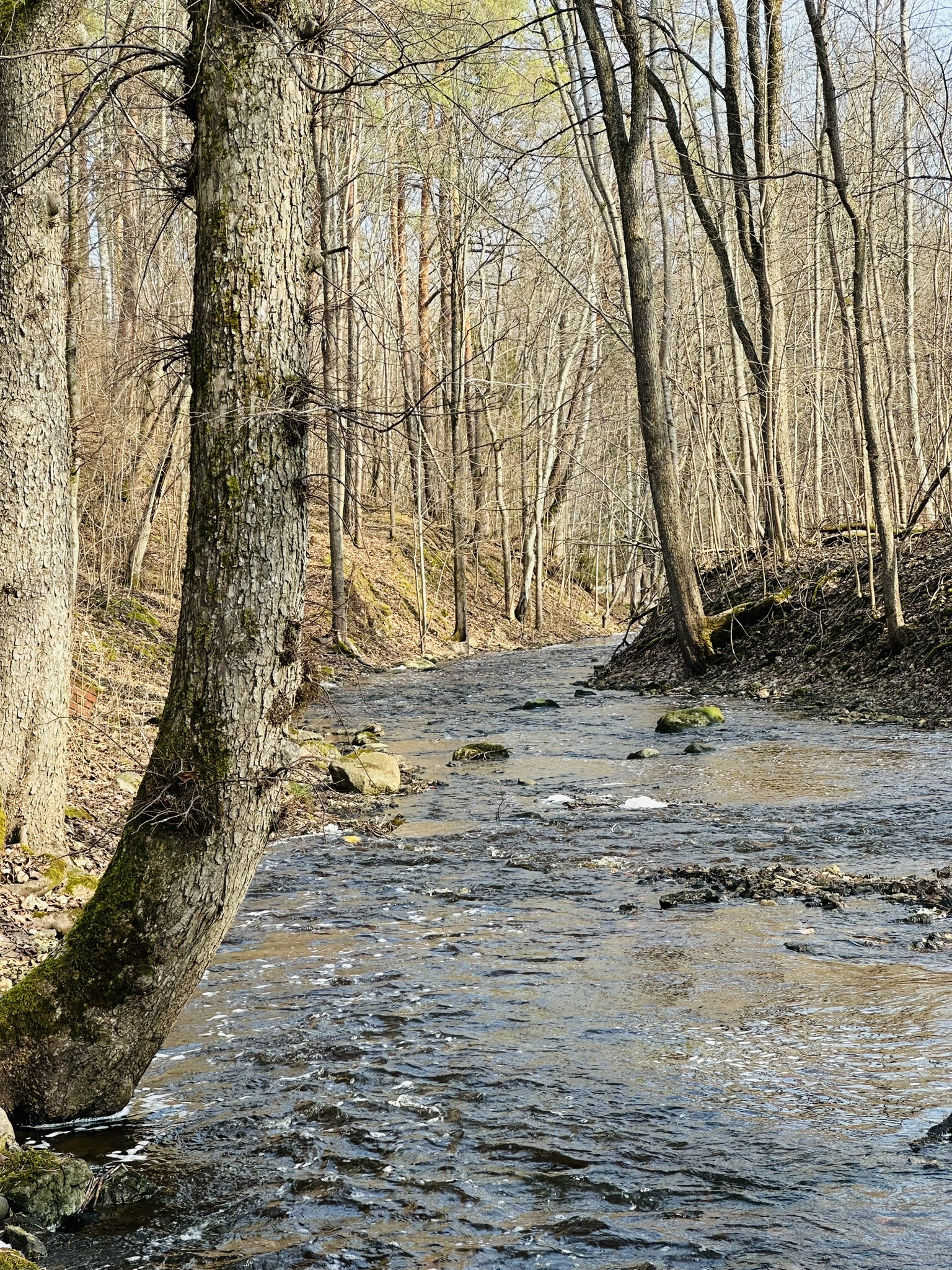
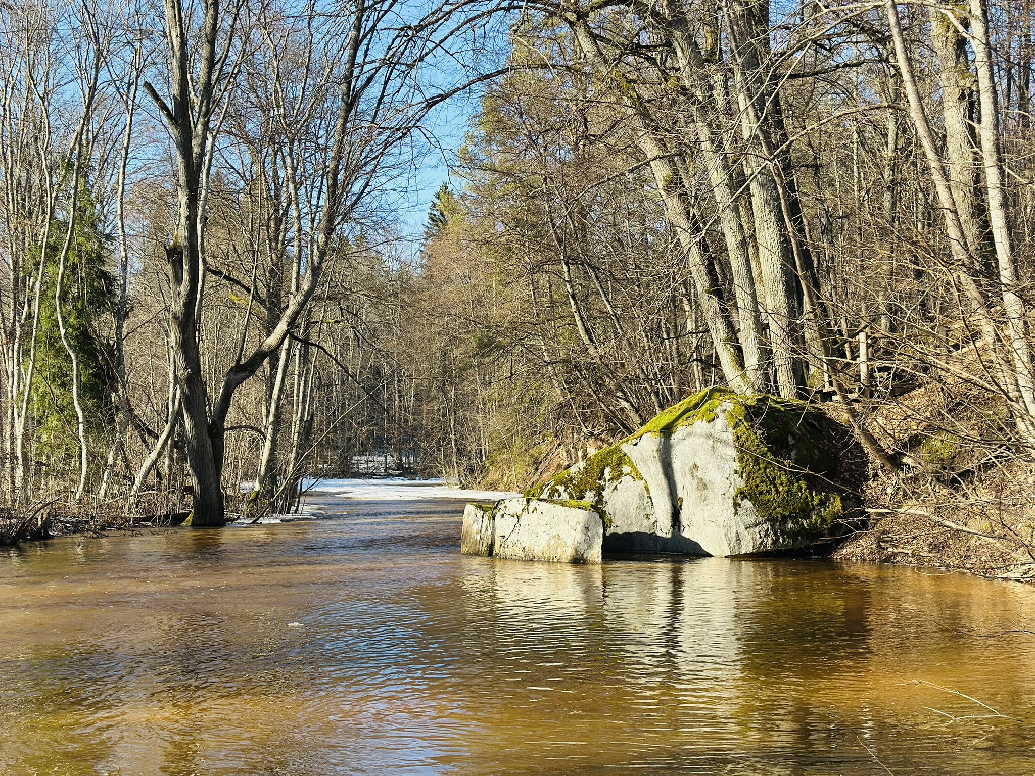
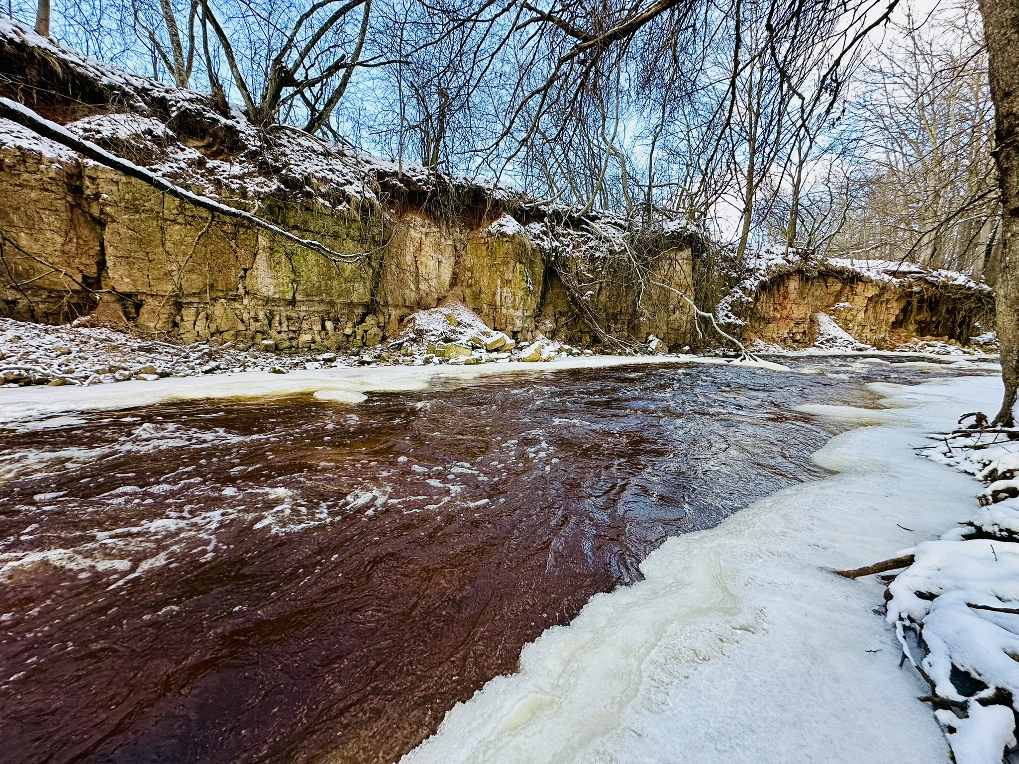
The Vireši Big Loop leads from the village of Vidaga through scenic forests, along the steep banks of the Gauja River and past dolomite quarries, to the Vizla rapids and dolomite outcrops. Along the way, it introduces visitors to historical sites, the landscapes of the protected area “Ziemeļgauja”, and local buildings.
Length: 15 kilometres.
Surface: forest trails and roads, gravel roads, and asphalt.
Terrain: slight
Elevation gain: approx. 150 m
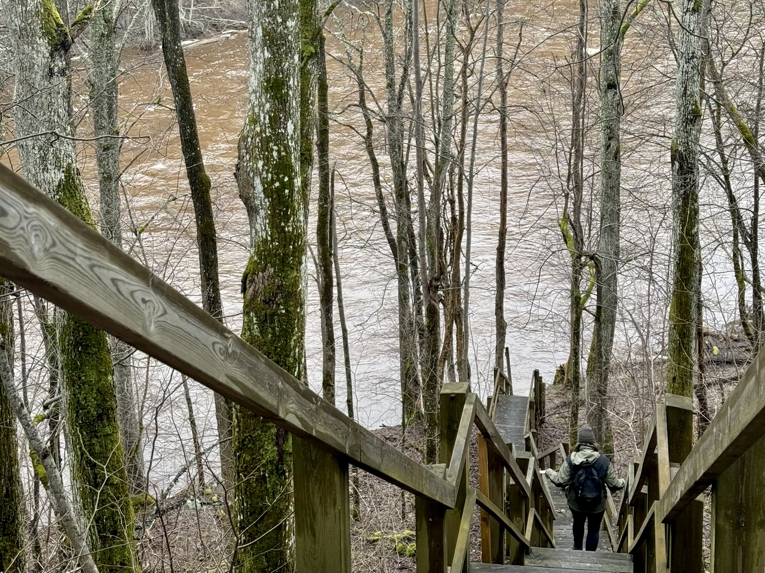
The route includes stairs, and some sections run along the steep banks of the Gauja River, where the surface may be muddy and slippery during wetter periods.
In periods of high water, the “Kaķīša Mill” trail may be flooded; in that case, use the road leading to the open-air stage, which runs parallel to the trail.
The route is not suitable for pushchairs or bicycles.
The route includes the following points of interest: Exhibition of VirešiLocal History Centre ”Mājvieta”; Vidaga mill and Kaķīša mill trail; Vidaga open-air stage; larch plantings; Vizla nature trail; Tilderi nature trail.
Route map and navigation (gpx) file.
More information about Vireši Parish is available on the Smiltene Municipality website, smiltenesnovads.lv.