Smiltene Cycling Trails
Three Latvia’s State Forests Cycling Trails of varying lengths and difficulty levels have been created in the forests around Smiltene, leading through forests, along lakes, and over hills and valleys.
- Each cycling trail is marked with its own colour, and trail maps are installed at three locations.
- All routes start at Smiltene Stadium, where distance measurements begin; however, cyclists may choose any convenient starting point.
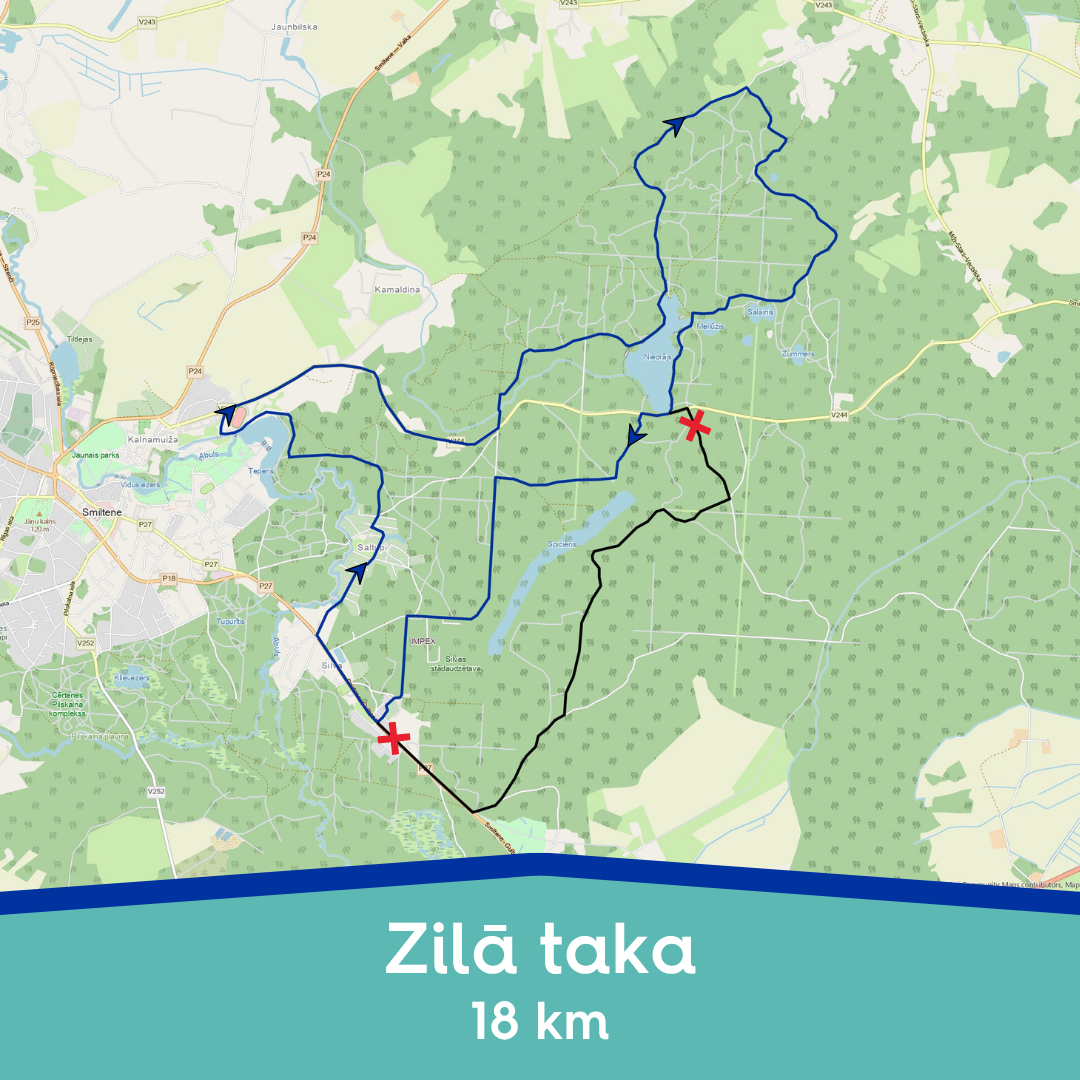
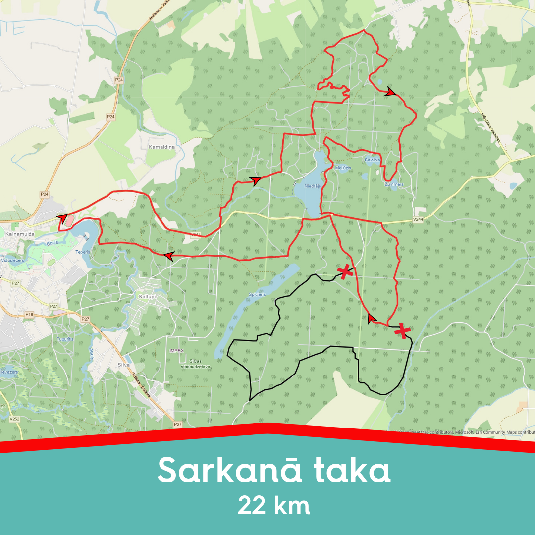
- The yellow trail is the easiest at approx. 10 km, the blue trail is of moderate difficulty at around 20 km, and the red trail is more challenging at about 30 km.
- The routes pass well-equipped picnic and rest areas, several swimming spots, and sightseeing locations.
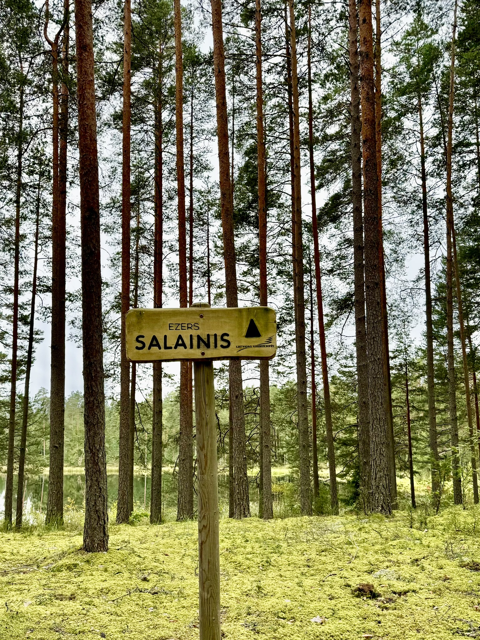
- Points of interest along the trails: Lake Niedrājs and six forest lakes, Money Stone, Silva Arboretum, and Lake Spicieris.
The cycling trails are also well-suited for hiking, Nordic walking, and skiing, and can easily be divided into shorter sections. The red trail is particularly scenic, featuring ravines and hills. By choosing Lake Niedrājs as a starting point, it is possible to complete one of the most picturesque sections of the red trail and return to the lake.
Trail Marking
In nature, the cycling routes are marked on trees with yellow, blue, and red triangles, which indicate the direction at turns. At trail junctions, wooden signposts are also installed. The number shown beneath the coloured triangle indicates the distance from that point to the start/finish area at the Sports and Recreation Complex “Teperis”.
- YELLOW – the easiest and shortest route. This ~10 km trail is suitable for anyone who can ride a bicycle. It mostly follows asphalt and gravel roads, with only short sections on forest paths.
- BLUE – a moderately difficult ~20 km trail, suitable for riders with some experience. It mostly follows gravel and forest roads, occasionally branching onto narrower paths.
- RED – a more challenging trail, intended for mountain bikers with experience in sports cycling or for those seeking a new and exciting challenge. Trail length ~30 km. The route mostly follows forest roads and trails, with fewer sections on gravel roads and asphalt.
Information boards with cycling trail maps are located at the Silva Arboretum, on the shore of Lake Niedrājs, and at the start/finish point near the Sports and Recreation Complex “Teperis”.
Due to reconstruction works on Silenieku Road, changes have been introduced to the red and blue trails for the 2026 season. Construction is taking place on the section from Silva Dendrological Park to the Vija River, and this stretch of road is currently closed to traffic. Hence the existing section of the cycling routes is also closed and not accessible to cyclists. The cycling routes have been redirected along alternative roads.
We kindly ask for your understanding and encourage you to follow the signs!
The yellow 10 km route GPX file available here.
The shortened blue 18 km route GPX file available here.
The shortened red 22 km route GPX file available here.